// 2026-08-05 · Maps & Exploration · by Bob Smith
WikiMapia: The Map Where Anyone Can Label Anything
WikiMapia is a crowd-annotated world map: users draw outlines around places and describe them, producing a layer of local knowledge no official map contains.
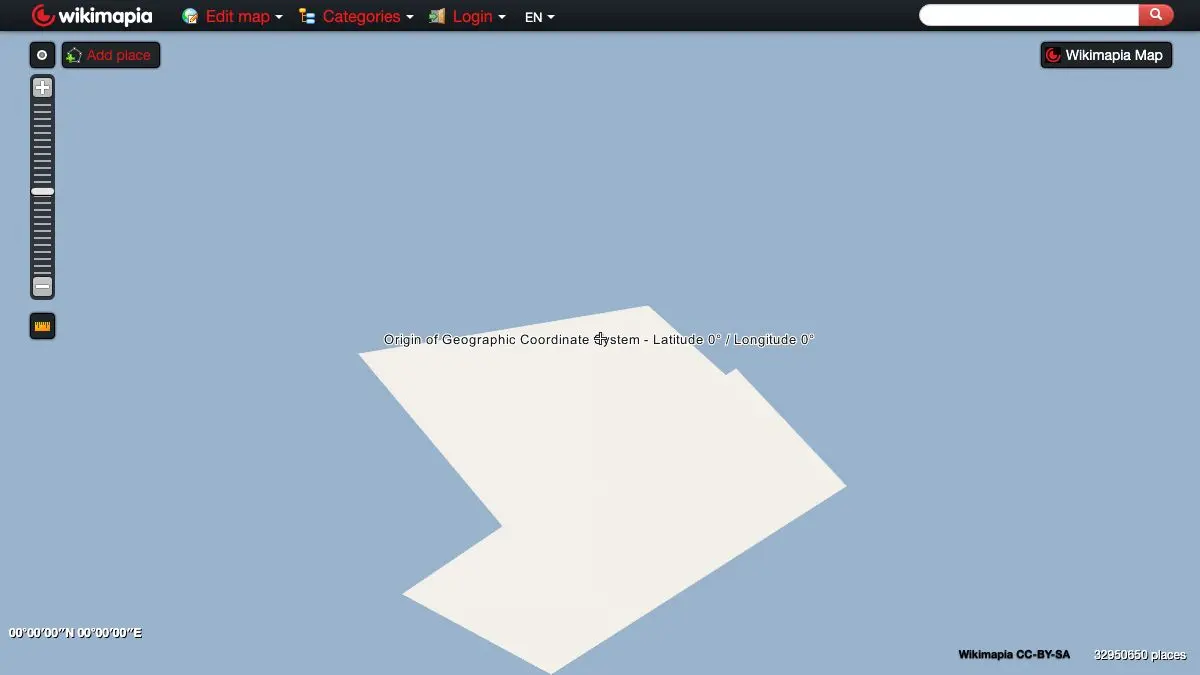
WikiMapia is what you get when you take a satellite map and let the entire internet write on it. Someone has outlined a warehouse in an industrial estate outside Novosibirsk and explained what it manufactures. Someone else has traced a railway line that was lifted in 1974. There is a polygon around a suburban house with a description that just says “my house.”
It is untidy, uneven, occasionally wrong, and full of things that exist on no other map anywhere.
What is WikiMapia?
WikiMapia launched in 2006, back when Google Maps was two years old and the idea of an editable world map was still novel. The premise combined two things that were both new at the time: freely browsable satellite imagery, and the wiki model where anyone can edit.
The mechanic is simple. You draw a shape around something on the satellite view, give it a name, pick a category, and write a description. Anyone else can then edit or expand that entry. Do this for two decades across a global user base and you accumulate an enormous, deeply strange annotation layer over the planet.
What makes it valuable is precisely what makes it messy. Official maps label what has an official name. WikiMapia labels what somebody thought was worth mentioning. That includes an extraordinary amount of industrial, military, infrastructural and abandoned stuff that no commercial cartographer would ever bother with: substations, quarries, decommissioned airfields, water treatment plants, mines, and buildings whose only distinguishing feature is that a local knew what happened in them.
Coverage is famously uneven and skews toward regions where the site caught on, with particularly deep annotation across the former Soviet Union, parts of Asia and the Middle East. Some cities are annotated almost building by building. Others are nearly empty.
The site itself shows its age. The interface is very much of the late 2000s, the ads are intrusive, and it has been largely bypassed by OpenStreetMap for anything requiring structured data. But nothing has replaced its specific function, which is the descriptive, human, anecdotal layer. OpenStreetMap will tell you a building is a building. WikiMapia will tell you a Soviet-era instrument factory operated there until 1998 and the site is now partly occupied by a furniture wholesaler.
What can you do with WikiMapia?
- Explore any area and read the labels. Zoom into anywhere and see what people have marked, which is the whole experience.
- Search for categories. Filter the map to specific kinds of place: abandoned, military, industrial, historical, and dozens more.
- Read descriptions of individual buildings. Frequently far more detailed than anything you would find in an official listing.
- Add or edit entries yourself. Draw a polygon, describe a place, contribute to the layer.
- Browse by tag. Tags pivot you from one place to every similar place worldwide, which is a fast route into a rabbit hole.
- Look at the photos. Many entries carry user-uploaded ground-level photos of the site in question.
- Switch base imagery. The annotation layer sits over satellite imagery you can swap between sources.
Tips to get the most out of it
Explore the former Soviet Union. The density of annotation across Russia, Ukraine and Central Asia is the site’s most impressive feature, with vast numbers of industrial and infrastructural sites documented in detail that exists nowhere else in English.
Use the category filter for abandoned places. Filtering the map to abandoned or disused sites is the single most rewarding thing you can do here, and it will consume an afternoon.
Cross-check anything you plan to act on. Entries age badly. A building described as derelict in 2011 may now be apartments, a demolition site, or fenced and patrolled. Verify before you go anywhere.
Read the edit history on interesting entries. Long-lived entries sometimes accumulate contributions from several people over years, and the history shows how the description evolved.
Do not treat it as a source. It is user-written with light moderation. Fine as a lead, poor as a citation, and if something seems too interesting to be true it may well be.
Expect the interface to be dated. The site has not been meaningfully redesigned in a long time. Push through it; the content is the point.
If you like WikiMapia, also try…
- Atlas Obscura: the curated, edited version of the same instinct for strange places.
- Sentinel Playground: satellite imagery of the same sites in bands your eyes cannot see.
- OldMapsOnline: historical maps showing what was on a site before whatever is there now.
- Random Street View: get dropped somewhere arbitrary and see what is actually on the ground.
More annotated corners of the world in Maps & Exploration.
Frequently asked questions
What is WikiMapia?
WikiMapia is an open, crowd-edited map of the world where users draw polygons around places and write descriptions of them. It combines satellite imagery with a user-contributed annotation layer covering everything from factories and schools to abandoned buildings and disused railway lines. It launched in 2006 and has accumulated tens of millions of marked objects.
Is WikiMapia free?
Yes, browsing and searching the map is free and requires no account. Creating an account lets you add and edit place descriptions, and the site is supported by advertising.
How is WikiMapia different from OpenStreetMap?
OpenStreetMap builds a structured geographic database intended for routing and rendering, with strict data conventions. WikiMapia is looser: it is closer to an encyclopedia layered over satellite imagery, where entries are descriptive prose about places rather than machine-readable geographic features. The two overlap but serve different purposes.
Is the information on WikiMapia accurate?
It varies a great deal. Entries are user-written and the moderation is lighter than on a project like Wikipedia, so quality ranges from carefully researched local history to a single misspelled word. Entries also age, and many describe buildings that have since been demolished. Treat it as a starting point for research rather than an authority.