// 2026-06-18 · Maps & Exploration · by Bob Smith
OldMapsOnline: Every Old Map of Your Town, in One Search
OldMapsOnline searches centuries of historical maps from libraries worldwide by place and year. See your street as it looked in 1780. Free and dangerously fun.
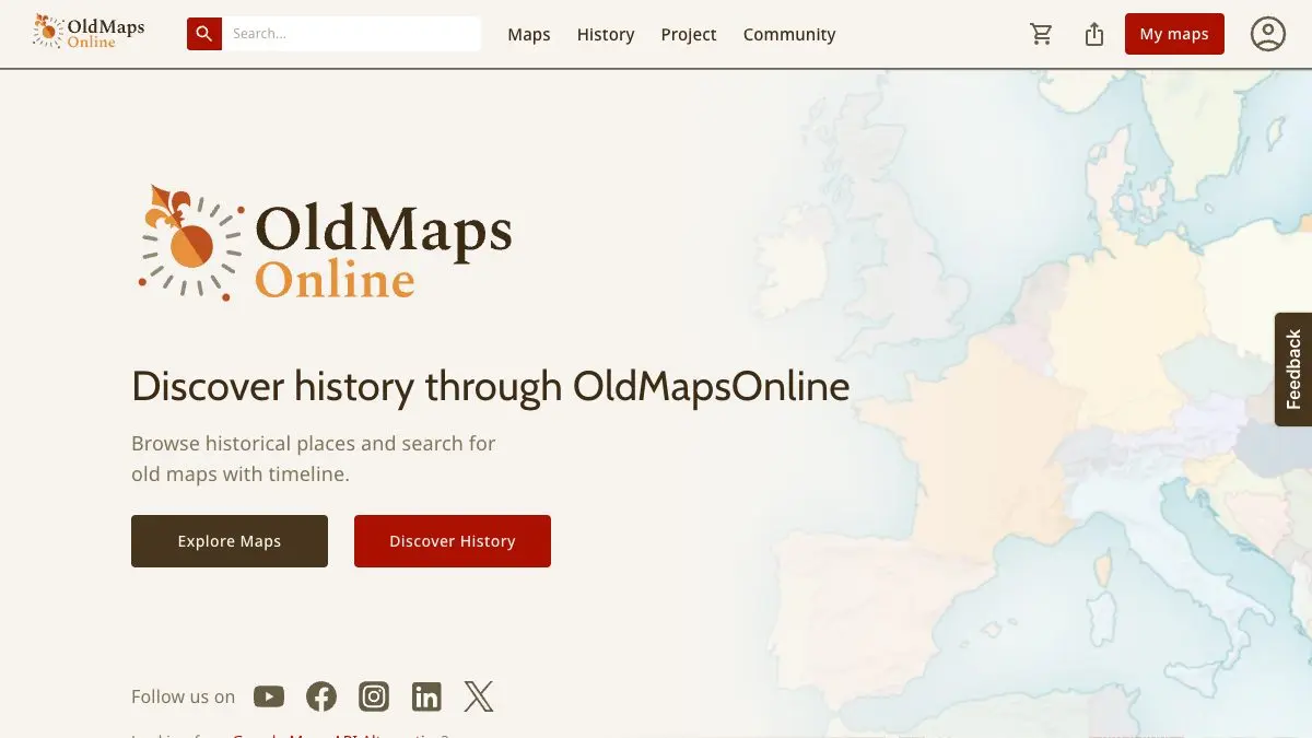
OldMapsOnline is a search engine for old maps. Drag a box around any place on a modern map, pick a range of years, and it hands you the historical maps that cover that patch of earth, pulled from library and archive collections around the world. Your town in 1850. Your coastline before the harbor was built. It is free, and you will not be leaving soon.
What is OldMapsOnline?
Here is the problem it solves. The world’s great map collections have been scanning their holdings for years, and the results are glorious, but each one lives in its own catalog, with its own search box and its own idea of how a place should be named. Finding an old map of somewhere specific meant knowing which library to ask.
OldMapsOnline flips that. It indexes by geography, not by title. You do not type “Plan of the City of…” and hope you guessed the historical spelling. You just show the site where on Earth you mean, and it finds everything it knows about that rectangle.
That one design decision is the whole magic trick. Place names change, languages change, borders change, spelling changes, but coordinates do not. So a map filed under a name nobody has used since 1900 still turns up when you drag a box over the right hills.
What can you do on OldMapsOnline?
- Search by area. Pan and zoom the modern map to your target, and the results list updates to match what is on screen. Zoom tighter for street-level maps, wider for regional and country sheets.
- Filter by date. Set a time range and watch the results change character completely. The same city in 1600, 1780 and 1890 might as well be three different planets.
- Browse the results. Each hit shows a thumbnail and details about the map and the institution holding it, so you can tell a decorative sea-monster-covered chart from a dry municipal survey before you click.
- Follow through to the source. Results link out to the library or archive that scanned the map, where you get the high-resolution view and whatever download options that institution offers.
- Compare eras. Line up two maps of the same place from different centuries and play spot-the-difference with railways, city walls, rivers and reclaimed land.
Tips to get the most out of it
Zoom is your filter. This is the single most useful thing to know. The site searches what is in view, so a continent-level view buries your village under national atlases. Zoom until only your area fills the screen, then search.
Try a wide date range first. Narrowing to 1820–1830 when the good map is from 1834 is a sad way to conclude nothing exists. Open it up, see what the coverage actually looks like, then tighten.
Chase coastlines and rivers. Water is where old maps get dramatic. Harbors that silted up, rivers that were straightened, lakes that were drained, the before-and-after is far more visible on the water than in the street grid.
Read the decorations, not just the geography. Older maps are full of editorial: sea monsters, cartouches, hand-tinted borders, blank spaces labeled with pure guesswork. Half the pleasure is in what the mapmaker chose to draw when they did not know.
Save the library link, not the thumbnail. Once you find a good one, the useful artifact is the URL at the holding institution. That is where the full-resolution scan and the rights information live.
Look for the boring maps too. Cadastral and survey maps are visually plain and historically loaded. They show who owned what, which is usually the actual story of a place.
If you like OldMapsOnline, also try…
- Native Land: a map of Indigenous territories, treaties and languages worldwide, showing the geography that came before the surveys.
- Internet Archive / Wayback Machine: same instinct, different century: dig up how any website looked years ago.
- Artvee: a huge free library of public-domain artwork, including plenty of gorgeous antique prints and plates.
- Atlas Obscura: for when the old map makes you want to go and stand in the actual place.
Find more in our Maps & Exploration collection, then go look up your street on OldMapsOnline. Bring snacks.
Frequently asked questions
What is OldMapsOnline?
OldMapsOnline is a search engine for historical maps. Instead of browsing one library's catalog at a time, you drag a box over a modern map, set a date range, and it returns scanned antique maps from collections around the world that cover that exact area. Each result links through to the holding library, where you can view the full scan.
Is OldMapsOnline free?
Yes, searching OldMapsOnline is free and does not require an account. The maps themselves are hosted by the contributing libraries and archives, so viewing and download rights depend on each institution's own terms. Many older maps are in the public domain.
Can I find an old map of my street?
Often, yes. Zoom the modern map to your street, run the search, and OldMapsOnline will surface every scanned map in its index that covers that area. Large cities usually have dozens of results across several centuries, while rural areas may only appear on wider regional or county maps.
Where do the maps on OldMapsOnline come from?
They come from libraries, national archives and map collections that have digitized their holdings and made them searchable. OldMapsOnline acts as the index across all of them, so one search covers many institutions at once instead of you visiting each catalog separately.