// 2026-06-17 · Maps & Exploration · by Bob Smith
Native Land: Whose Territory Are You Standing On?
Native Land maps Indigenous territories, treaties and languages worldwide. Type your address and see the nations whose land you live on. Free, and humbling.
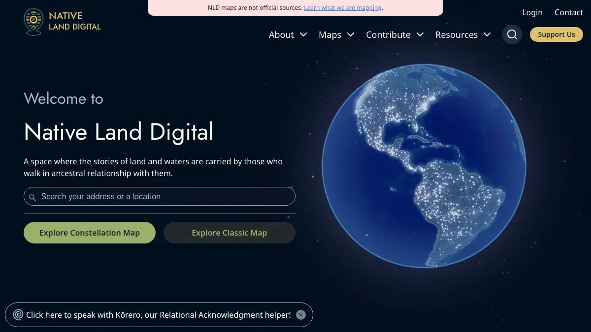
Native Land is a world map that answers a question most of us have never thought to ask: whose land is this? Type an address into the search box and the map draws colored shapes over it, the territories, treaties and languages of the Indigenous nations connected to that exact spot. It is free, it is run by a nonprofit, and it will change how you look at your own street.
What is Native Land?
Most maps you have used were drawn by the people who won. Borders, state lines, county names, all of it is the geography of colonization, and it is so familiar it reads as neutral.
Native Land is a map built the other way around. It is maintained by Native Land Digital, a nonprofit led by Indigenous people, and its whole purpose is to show land through Indigenous frameworks instead of colonial ones. Instead of a tidy grid of states, you get overlapping, irregular shapes that spill across national borders and into each other, because that is how territory actually worked before someone drew a line through it with a ruler.
The overlaps are the point. Land was shared, contested, traveled through, seasonally used. A map that shows five nations sharing one river valley is not a broken map. It is a more honest one.
The site is upfront about its own limits, too. It states clearly that the map does not represent official or legal boundaries, and that it is a work in progress that gets corrected as nations write in. That humility is rare on the internet and it is worth noticing.
What can you do on Native Land?
The interface is a map and a search box. Start there, then dig.
- Search your own address. This is the first thing everyone does and it is the right instinct. Your house, your office, your childhood home. See what comes up.
- Toggle the layers. Territories, languages and treaties are separate overlays. Turning them on one at a time tells three different stories about the same patch of ground.
- Click a nation. Each shape opens into a panel with the nation’s name, links to official sites, and further reading. This is where the map stops being an aesthetic object and starts being a research tool.
- Explore the treaty layer. Seeing treaty boundaries drawn over a modern city is a quietly devastating experience. Highly recommended.
- Follow a language. The language layer often looks nothing like the territory layer, and tracing where a language family stretches is its own kind of travel.
- Grab the data. There is an open API and downloadable GeoJSON if you want to build something with it.
Tips to get the most out of it
Search places you have opinions about. Your hometown is the obvious one. But try the national park you loved, the city you moved to, the beach in your vacation photos. The map hits hardest when you already have a memory attached to the coordinates.
Read the disclaimer before you cite it. Native Land is a starting point for learning, not a legal document. If you are writing something public, use the map to find the nations, then go to those nations’ own websites for the authoritative version.
Use the Teacher’s Guide even if you are not a teacher. It is a free, well-structured walkthrough of how to actually think about what you are seeing, and it saves you from the “cool colors, now what?” trap.
Check the land acknowledgment guide. The site includes a guide to writing acknowledgments that are about relationship rather than ritual. Even if you never write one, the reflective questions are good ones.
Zoom out to somewhere unexpected. The project covers far more than North America. Australia, Aotearoa, parts of South America and beyond are mapped. Spin the globe and land somewhere you know nothing about.
If you like Native Land, also try…
- OldMapsOnline: search a huge archive of historical maps by place and year, and watch how cartographers drew your region across the centuries.
- Atlas Obscura: a global catalog of strange, overlooked and wonderful places, organized by exactly the kind of curiosity Native Land wakes up.
- The True Size Of: drag countries around a world map to see how badly the standard projection has been lying to you about size.
More like this in our Maps & Exploration collection. And if you only do one thing today: open Native Land, type in your address, and sit with what comes back.
Frequently asked questions
What is Native Land?
Native Land is an interactive world map, run by the nonprofit Native Land Digital, that shows Indigenous territories, treaties and languages layered over familiar geography. You type in an address or click anywhere on the globe and it returns the nations connected to that place, with links to learn more about each one. It is built to represent land from an Indigenous perspective rather than through modern national borders.
Is Native Land free?
Yes. The maps, the search tool and the educational resources are all free to use, and Native Land Digital also publishes open data and a public API at no cost. It is a nonprofit organization supported by donations rather than paywalls.
Are the boundaries on Native Land official?
No, and the site says so plainly. Native Land states that its map does not represent official or legal boundaries of any Indigenous nation, and treats the whole project as a work in progress that it corrects as communities send feedback. For definitive information about a territory, you should contact that nation directly.
Can teachers use Native Land in class?
Yes. Native Land publishes a Teacher's Guide alongside the map, plus a guide to writing meaningful land acknowledgments. Both are free and designed for classroom use, which makes the site a common starting point for lessons on Indigenous history and geography.